Northeast Braces for Major Winter Blast and Disruption
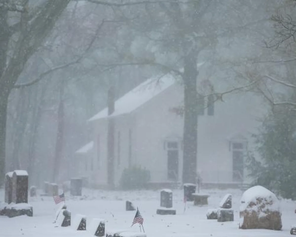
The northeastern United States is on high alert as a formidable winter storm system is poised to deliver a potent mix of rain, freezing rain, and substantial snowfall from Monday night through Tuesday. Weather forecasters indicate that millions across the region are currently under various winter storm advisories, preparing for what promises to be the first significant snowfall of the season for many.
The core of this developing storm is expected to sweep into the Northeast later on Monday. Originating over the Gulf states, the system is projected to track northward along the eastern seaboard, intensifying as it progresses. While the heaviest precipitation is anticipated to subside by Tuesday night, conditions are generally expected to improve and clear by Wednesday.
Anticipated Snowfall and Affected Areas
The National Weather Service has issued comprehensive winter storm warnings and advisories for several states, including Massachusetts, New Hampshire, Vermont, and Maine. The areas likely to experience the most intense snowfall stretch from Pennsylvania’s Poconos mountain range all the way to eastern Maine. Residents in these zones could see accumulations ranging from five to ten inches between Monday evening and Tuesday night. Furthermore, higher elevations within New England are cautioned that they could receive more than a foot of snow, posing significant challenges for travel and daily routines.
Meteorologist Andrew Orrison, speaking to the Associated Press, underscored the gravity of the impending weather. “It’s going to be the first snowfall of the season for many of these areas, and it’s going to be rather significant,” Orrison stated. He also offered a silver lining, adding, “The good news is that it does not look like the major cities at this point are going to be looking at any significant snowfall.”
Midwest Still Reeling from Prior Storm
This incoming nor’easter follows closely on the heels of another powerful winter storm that wreaked havoc across the Midwest and Great Lakes region over the extended Thanksgiving holiday weekend. That system led to widespread disruption, including numerous major road accidents, hundreds of flight cancellations, and thousands more delays, severely impacting holiday travelers.
Chicago’s O’Hare International Airport, a major travel hub, bore the brunt of the previous storm. On Saturday, the airport recorded an impressive 8.4 inches of snow, marking a new historical record for the city’s snowiest November day since record-keeping began. The ripple effects continued into Monday, with dozens of flights still canceled or delayed, and commuting conditions in some parts of the city expected to remain treacherous well into Monday night.
Beyond Chicago, the earlier storm brought snow to various parts of Michigan, Indiana, Iowa, Missouri, Kansas, and Nebraska. Orrison noted that while the snowfall in the Great Lakes region was gradually tapering off, attention has now shifted to the new system gathering strength and heading toward the Mid-Atlantic and Northeast, promising “significant” snowfall by Tuesday.
As the Northeast prepares for its first substantial winter event, residents are urged to monitor local weather updates, exercise extreme caution, and make necessary preparations for potentially hazardous conditions and travel disruptions.
Source: The Guardian


